In an industry that is rapidly evolving with new technologies and increasing demand for efficiency, Great River Energy continues its strides to stay ahead by investing in innovative tools and strategies. One of those tools has transformed how the cooperative manages infrastructure and responds to transmission events.
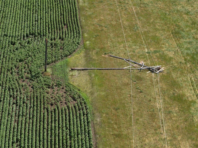
Previously, whenever a fault on the transmission system occurred, Great River Energy’s system operators needed to rely on measuring their geographic information system (GIS) on screen to estimate the location of a fault. These faults could be caused by any variety of factors, including insulation breakdown, equipment failure or environmental factors like lightning — leading to power outages and possible damage to the power system.
While this strategy worked well for many years, system operators were interested in making the process more efficient to locate faults faster and more accurately.
“System operations approached the GIS department and asked if there was a way we could help improve the efficiency of their fault location process, as the current process was cumbersome and time-consuming. So, we put our heads together to come up with a solution,” said Jeff Grussing, manager of GIS development and technology at Great River Energy.
After researching available solutions to this challenge, the two departments implemented a GIS-based system that allows Great River Energy to automate the entire process by leveraging measured routes to accurately trace and display fault locations based on data received from protective relays installed in substations. The GIS system also incorporates lightning strike data to help identify possible causes of momentary outages.
The two departments also collaborated with Great River Energy’s IT development staff to develop a custom widget that enables near real-time access to this information.
Now, when a fault occurs, the GIS tool quickly interprets the data, traces to the distance provided and then visually marks the probable fault location on a digital map. This allows system operators to quickly direct crews to precise locations without relying on manual measurement. The result is a faster, more accurate response that saves time, reduces operational costs and improves reliability.
The system also stores the fault locations and lightning strike data for future analysis. Additionally, the fault locations can be displayed in a mobile app for workers to navigate to the exact site.
“The Great River Energy GIS fault tracing tool gives me precise fault locations down to the structure number. Isolation can be done within minutes with motor-operated switches, restoring members quickly and efficiently,” said Marshall Brown, system operator at Great River Energy. “Lineworkers are dispatched directly to the reported trouble area and can quickly identify the issue and begin repair activities.”
The GIS tool also doubles as a post-event resource by providing system operations staff the ability to trace historical faults, drawing insights from past incidents to optimize relay configurations and improve accuracy.
Overall, the new system enhances operational speed and accuracy in addition to supporting continuous improvement and smarter grid management.
 " data-object-fit="cover">